Path of the Pronghorn

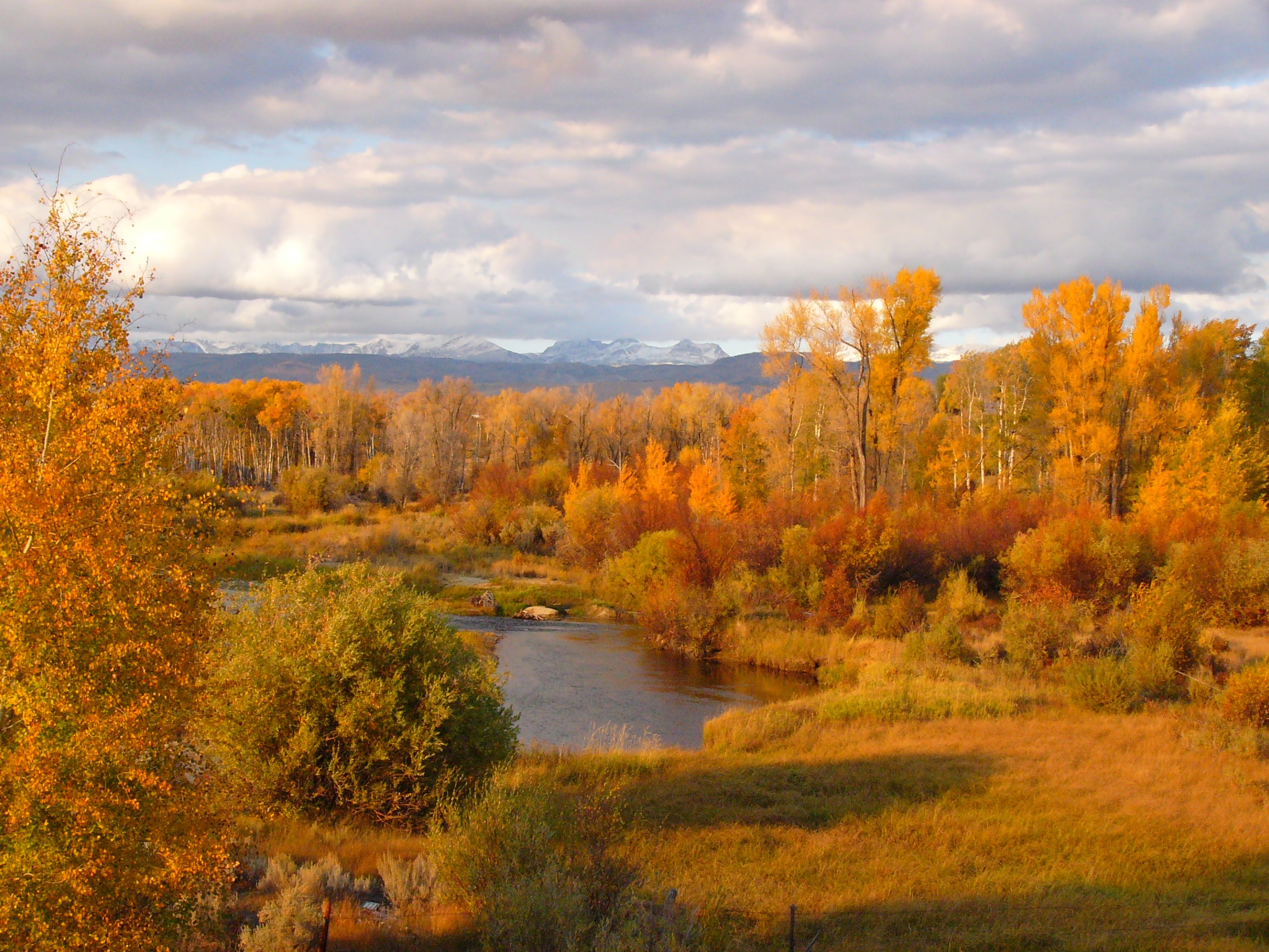
For over 6,000 years, a spectacular, inter-mountain migration has quietly streamed through western Wyoming. North America’s natives, pronghorn antelope have forged routes beside the Great Divide, trailing deep-rooted, ancient pathways between mountain valleys and desert sagebrush. From Wyoming’s Upper Green River Valley to Grand Teton National Park, these vast landscapes harbor centuries of tradition in one of the western hemisphere’s longest migratory corridors.

Water Quality

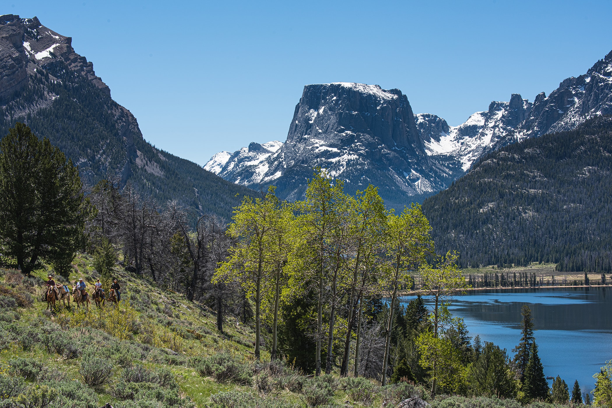
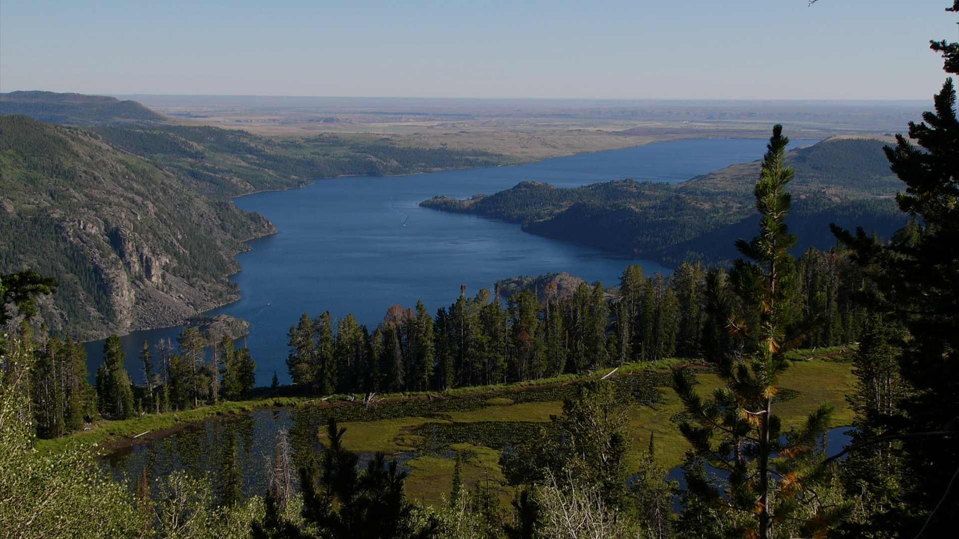
The Green River is the northernmost headwater and the largest tributary to the Colorado River. The Green begins high in the granitic Wind River Range.

Lakes, glaciers, underground aquifers, and streams flow into this mighty, life giving watershed.

Air Quality

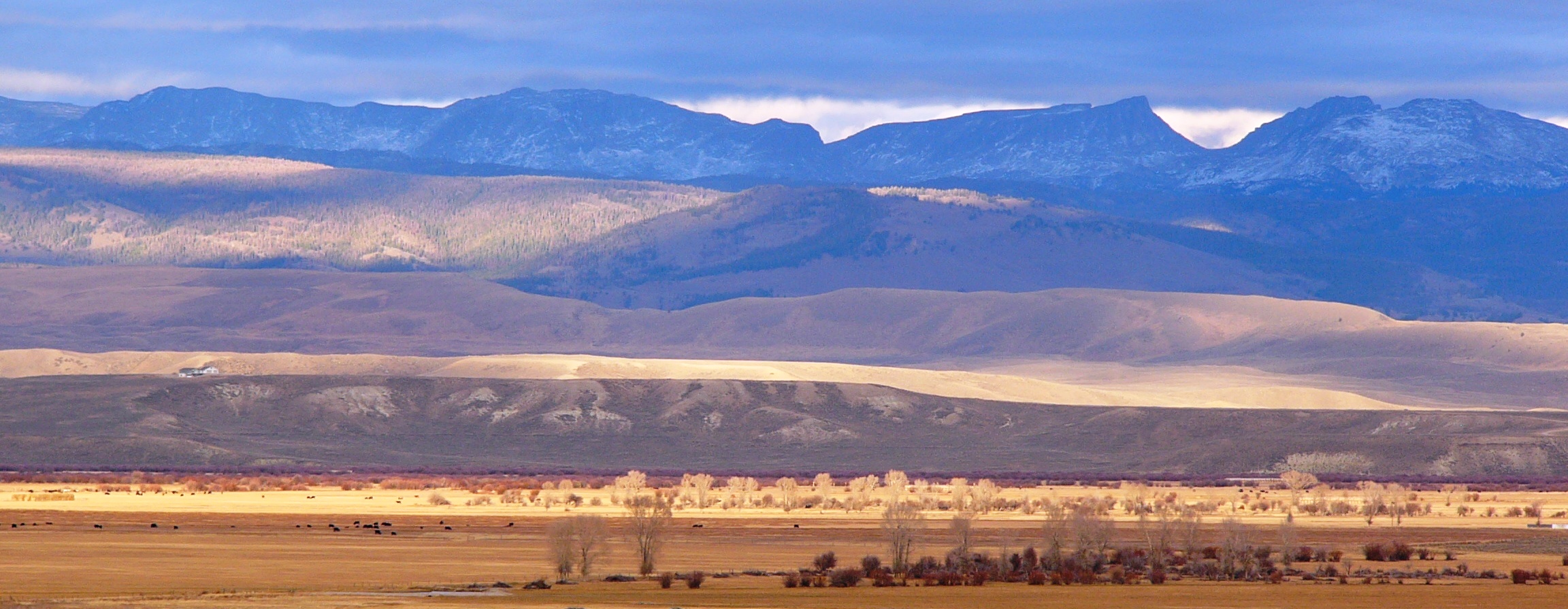
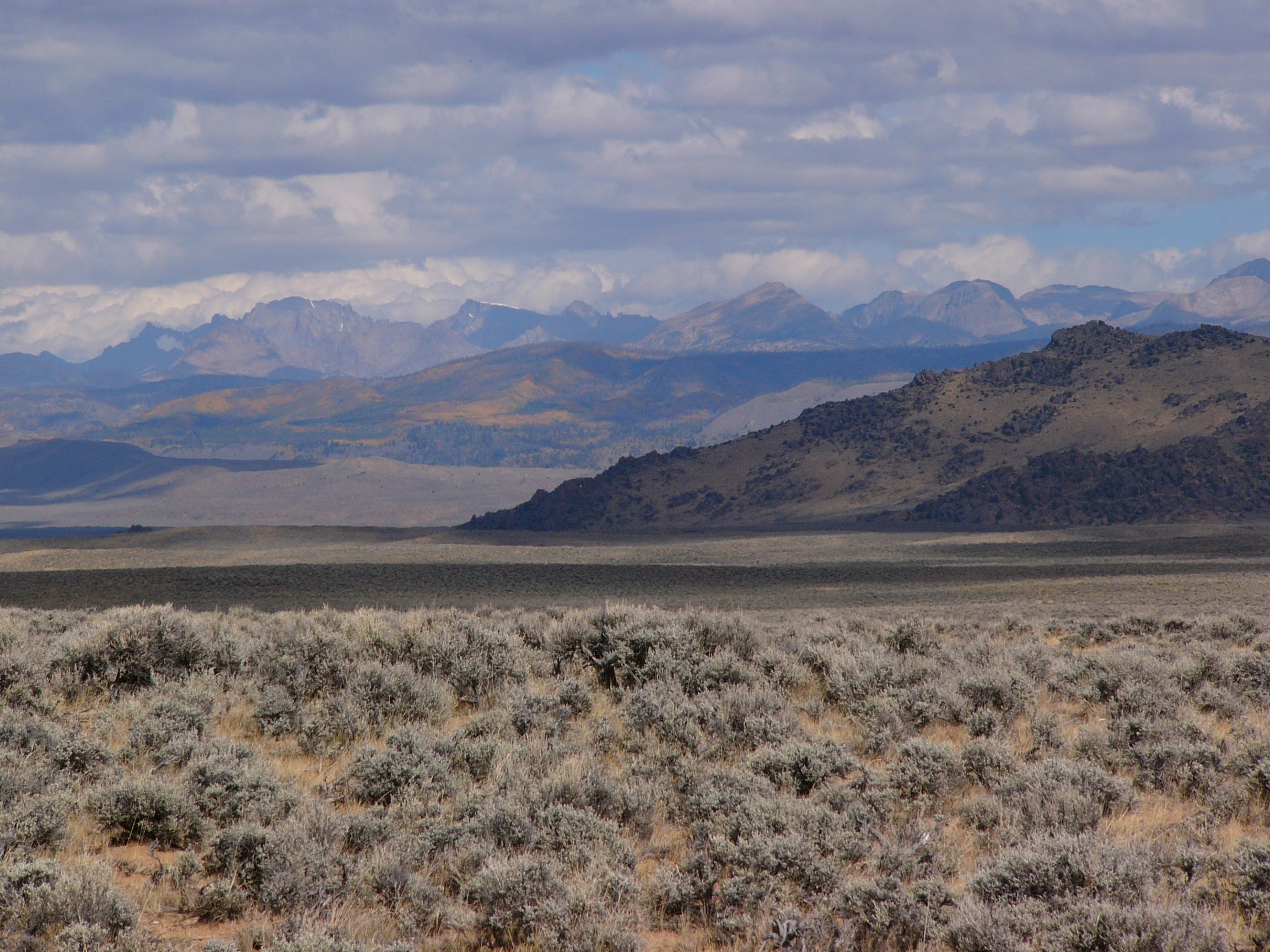
The Upper Green River Valley once had air quality cleaner and clearer than almost anywhere in the world, due to its small human population and distance from large cities. From mountain peaks in the surrounding Wind River and Wyoming Ranges, you could see the Tetons 80 miles to the north, or the Uintas 200 miles to the south.

TAKE ACTION

NEW! Interactive Map with Cheatgrass Locations in the Pinedale Anticline and Jonah Natural Gas Fields

This map created by the Upper Green River Alliance provides locations of cheatgrass in the Pinedale Anticline and Jonah Infill natural gas fields, Sublette County, Wyoming. The map opens with...

NEW! Interactive Map with Gallons of Produced Water!

This interactive map of Sublette County, Wyoming oil and gas fields includes names, locations, and a table that lists total gallons of "produced water" per field and cumulatively as of...

NEW! Interactive Map of Sage-grouse, Pronghorn, Mule deer and more!

This interactive map of Upper Green River Basin Greater Sage-grouse, pronghorn, mule deer and moose year-round ranges will show you how and where vital wildlife habitats intersect with current and...